A safe voyage requires great amount of planning from different staff on board. This article, part of our Bridge Procedure Series, explains the essence of ship navigation in ocean waters and the role of navigational tools in ensuring a safe sail at the sea.
What ship navigation means
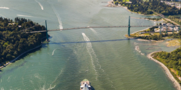
Ship navigation is referring to the voyage practices, focusing on the process of monitoring and controlling the movement of the ship from one place to another. Specifically, starting from knowing where you are on a chart and choosing the best route to where you are heading. Marine navigation is a big challenge, as it requires both knowledge and skills. This is especially true nowadays – in the GPS age – but it was also true when the only available navigation was the celestial.
When equipment can provide a safe ship navigation
With modern day facilities and automation, there are several advanced ship navigation systems. Merchant ships are equipped with navigational tools which give accurate data for the voyage. A few of them are:
- Gyro and magnetic Compasses,
- Radars,
- Auto Pilot,
- ARPA,
- Speed & Distance Log Devices,
- ECDIS,
- Automatic Identification systems,
- Voyage Data Recorders,
- GPS Receivers,
- Navigational Lights,
- Pilot Card etc.
This equipment can provide a safe voyage only when is maintained as appropriate and is activated carefully by a well-trained crew.
Lessons Learned: The importance of preparation procedures before ship navigation
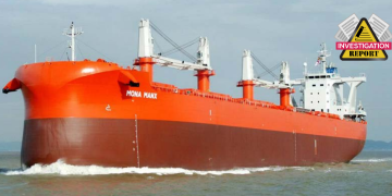
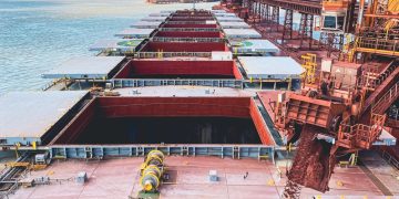
A real-life accident occurred on 07 May 2016, in Ningbo, a few miles out of EEZ, indicates the importance of thorough preparation procedures before ain ocean waters. A Bulk Carrier which was enroute to Samarinda in Indonesia, to alter course for Ningbo, China, suspected of being involved in a collision with a fishing vessel. While making an alteration of course to starboard to prevent the collision, it was alleged that the Bulk Carrier snagged the fishing gear. This move caused the capsizal of the fishing vessel, with the loss of all persons on board. The safety investigation found that the bridge on Bulk Carrier was not properly manned. It did not match the exigencies of ship navigation in restricted visibility and the observation of traffic by radar was inadequate.
The incident provides many lessons concerning the safe ship navigation at open sea. It makes apparent that there are some actions to be followed in order to prevent such situations. Except from good maintenance of the passage planning, the bridge team should concentrate on the following elements:
- Scale charts to be available with route plotted
- Weather forecast for the area ahead.
- Appropriate measures to be taken to comply with environmental requirements and regulations
- ECDIS terminals to be setup correctly for navigation in ocean waters with the displayed route
- Adequate bridge manning to ensure a proper look-out
- Ship’s position confirmation at appropriate intervals
- Weather monitoring by making regular barometer observations
- NAVAREA navigational warning broadcasts to be checked in accordance with other long-range weather reports
- Participate in area reporting systems
- Ensure that celestial navigation techniques have been practiced
- Gyro and magnetic compass errors and radar performance to be checked properly
SQE Marine has prepared the checklist below aiming to provide the necessary steps required, for the best implementation of these procedures


