


Chart aids safe shipping from Delong Mountain Terminal
NOAA has issued anew nautical chart for the Delong Mountain Terminal, a shallow draft port servicing the Red Dog Mine, one of the world’s largest producers of zinc concentrate, on the western coast of Alaska in the Arctic.
New chart 16145 fills in historically sparse depth measurements, using new survey data recently acquired specifically for this chart.
“This chart is important to the Arctic economy, providing navigational intelligence for the vessels shipping zinc and lead concentrate from Red Dog Mine and offers vastly more navigational information than the only other available chart of the area,” said Rear Admiral Gerd Glang, director of NOAA’s Office of Coast Survey. “The shipping season from the terminal only lasts about 100 days, so maritime efficiency is vital, and this chart will improve shipping safety during that time.”
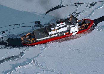
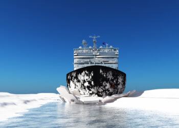
Red Dog Mine is about 50 miles inland. The terminal uses self-loading barges to ferry the ore concentrates to the deep draft ships anchored several miles offshore.

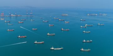
New NOAA chart 16145 (partial view) fills in sparse depth measurements throughout the area approaching Delong Terminal, giving mariners information they need if they have to transit outside the traditional lane. Image Credit: NOAA
Previously, the only official nautical chart available to transit the nearshore area was the 1:700,000 scalechart 16005, whichshows one depth measurement within three nautical miles of the approach to Delong Mountain Terminal. New NOAA chart 16145 offers a much more usable 1:40,000 scale coverage, with updated shoreline measurements and newly acquired NOAA hydrographic information. It shows dozens of depth measurements, representative of thousands of soundings, to give the mariner accurate depths for navigation.
This is NOAA’s third new Arctic chart issued in the past three years. Chart 16161 (ENC US5AK97) for Alaska’s Kotzebue Harbor were issued in 2012, and chart 16190 (ENCs US4AK8D and US5AK8D) for Bering Strait North were issued in 2013.
You may view NOAA’s new nautical chart by clicking here
Source & Image Credit: NOAA