


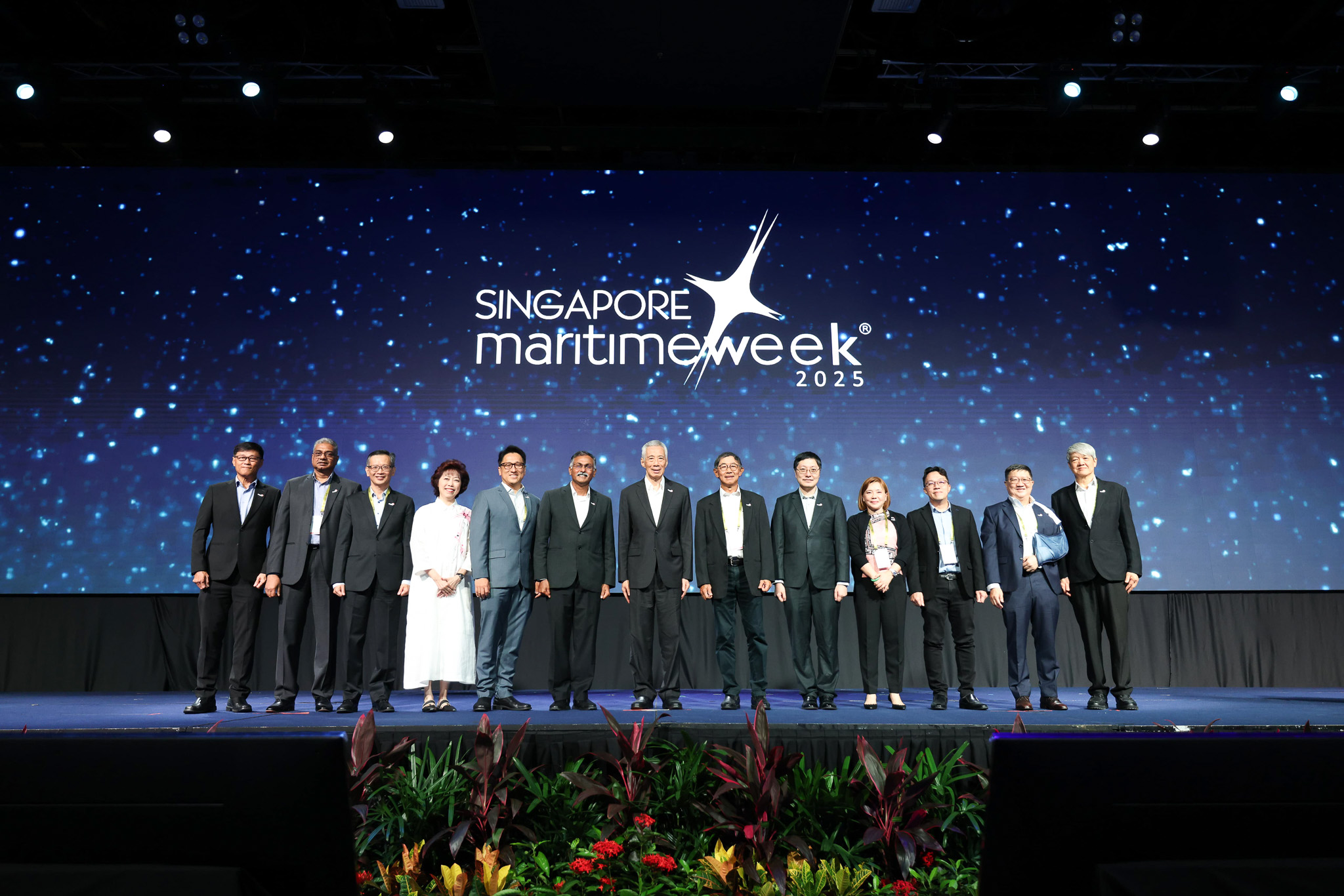
Singapore’s first Maritime Digital Twin was launched at the SMW Opening Ceremony on 24 March 2025. The dynamic virtual model of the Port of Singapore was developed by MPA in partnership with the Government Technology Agency of Singapore (GovTech).
Industry use-cases demonstrating the potential capabilities of the digital twin, including real-time vessel monitoring and underwater visualisation of hull inspection and cleaning, are being showcased at EXPO@SMW during the Singapore Maritime Week from 25 to 27 March 2025.
These efforts to expand geospatial knowledge and digital twin capabilities align with the Singapore Geospatial Master Plan (2024 – 2033). Launched in March 2024 by MPA and the Singapore Land Authority (SLA), the Master Plan serves as a blueprint to drive geospatial innovations to benefit society and seize new opportunities arising from the complex challenges Singapore faces as a hub port and island-nation.
In addition to this announcement, Singapore has signed two Memoranda of Understanding (MOU) to advance geospatial technology and develop skilled maritime talent.
MPA has signed a three-year MOU with Jurong Port, Singapore Cruise Centre Private Limited, Esri Singapore, Hexagon’s Safety Infrastructure and Geospatial Division, Nika, Technology Centre for Offshore and Marine, Singapore (TCOMS), A*STAR Institute of High Performance Computing (A*STAR IHPC) and the Centre of Excellence in Modelling and Simulation for Next Generation Ports (C4NGP) in the College of Design and Engineering of the National University of Singapore (NUS), to promote knowledge-sharing initiatives and explore geospatial technologies to address real-world challenges