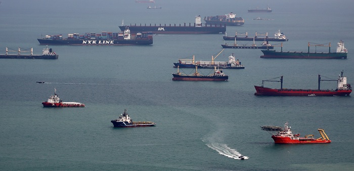
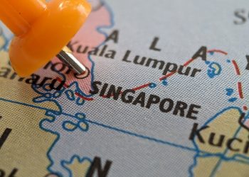
Three littoral states, Indonesia, Malaysia and Singapore, and the Malacca Strait Council of Japan officially commenced the second phase of a joint hydrographic survey of the Straits of Malacca and Singapore (SOMS), on 5 March, aiming to improve navigational safety in the region.
The Phase Two of the Joint Hydrographic Survey was formally launched via a Memorandum of Understanding signed at the 10th Co-operation Forum held in early October 2017, at Kota Kinabalu, Malaysia.
As informed, the data collected from the survey will be used to produce more up-to-date and detailed electronic navigational charts that will improve navigational safety and enable better voyage planning in one of the busiest waterways in the world.
Phase Two will cover waters shallower than 30 metres within the Traffic Separation Scheme (TSS) from One Fathom Bank in the Malacca Strait to Horsburgh Lighthouse, at the eastern entrance to the Singapore Strait. This is a continuation from Phase One, which focused on five depth-critical areas of the TSS in the SOMS.
This initiative is testament to the strong working relationship between the three littoral States and Japan in promoting safety of navigation and protection of the marine environment in the SOMS.
Phase One of the joint hydrographic survey was completed in 2016. Phase Two of the survey is supported by the Japan-ASEAN Integration Fund (JAIF) and is expected to be completed by 2020.


