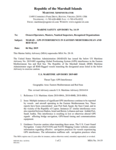
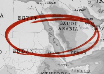
The United States Maritime Administration (MARAD) issued the US Maritime Advisory No. 2019-005 regarding Global Positioning System (GPS) interference in the Eastern Mediterranean Sea and Red Sea. Therefore, the Republic of the Marshall Islands Maritime Administrator urges all RMI-flagged vessels transiting the designated areas listed in the below Advisory to exercise caution.
Specifically, the reports concerning GPS interference have been concentrated near:
- Port Said, Egypt;
- Suez Canal;
- In the vicinity of the Republic of Cyprus.
Yet, Marshall Islands Administrator highlights that similar examples of interference were also reported between Hadera, Israel and Beirut, Lebanon and near Jeddah Port, Saudi Arabia.
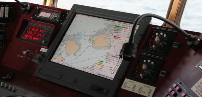
This interference is resulting in lost or otherwise altered GPS signals affecting bridge navigation, GPS-based timing and communications equipment.
In light of the above, the RMI recommends caution to those transiting these areas.
The USCG Navigation Centre (NAVCEN) and NATO Shipping Center websites contain information regarding effective navigation practices for vessels experiencing GPS interference.
The information focus on safe navigation practices when experiencing possible GPS disruption, provides useful details on reporting possible GPS disruption, and is intended to generate further discussions within the maritime community about other disruption mitigation practices and procedures.
This guidance also recommends taking note of critical information such as the location (latitude/longitude), date/time, and duration of the outage/disruption, and providing photographs or screen shots of equipment failures during a disruption to facilitate analysis.
For more information, you may click on the PDF herebelow


