


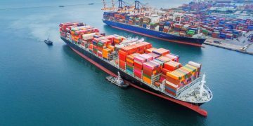


Combination of piracy and weather overlays
 Chart overlays are an excellent decision support tool that provide a more holistic representation of available data. They allow navigators to easily superimpose additional layers of information over a chart displayed on the ECDIS screen.
Overlays include weather data, tide forecasts and ice charts and allow the navigator to quickly evaluate existing and predicted environmental challenges along a planned passage and take timely mitigating action to maximise voyage performance.
Overlays are one of the most significant advantages of electronic navigation and the technology will be used more as data transfer become less prohibitive and more accessible to globally trading vessels. This creates a relationship whereby ship staff can effectively leverage shore based expertise on environmental and security concerns.
Martek’s iECDIS supports worldwide weather overlays including tides and currents, storm tracking/forecasting and wind and wave predictions. These allow a vessel to use nature’s forces to its advantage where possible and enhance round voyage performance. Online data is updated every thirty minutes and users can choose how often this information is retrieved, as well as set their own critical weather update parameters for alarms and route planning, tailored to their ship and unique cargo’s requirements.
iECDIS also supports ice charts for arctic navigation and radar overlay, which transposes the radar image on the ECDIS screen, providing a single display to view cross-referenced data and make educated navigational decisions.
Additionally, iECDIS runs Martek’s piracy overlay. This information is constantly updated with intelligence from recognised and authoritative sources, including the International Maritime Bureau, EU Naval Forces and the United States Navy’s Office of Naval Intelligence. Up-to-date information on piracy is designed to assist navigators in understanding and mitigating piracy related security risk when route planning and monitor risk areas during passage.
The combined use of piracy and weather overlays offers a simpler way of planning a voyage, where meteorological conditions alongside the ship’s freeboard can be used as a deterrent against boarding via smaller crafts.
Source and Image Credit:Martek Marine