


Interactive map provides visualisation of the main environmental and safety concerns
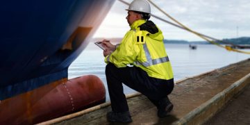
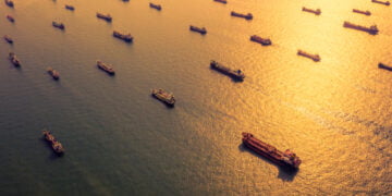
Declining sea ice is creating new possibilities for industrial activities in the Arctic, yet the region is highly variable in its resources and conditions, creating a complex risk picture.
DNV GL has developed an interactiveArctic Risk Map to help communicate the risk associated with maritime and offshore activities in the Arctic.
The map provides an explanation and visualisation of the main environmental and safety concerns and shows how the risk factors change depending on a variety of parameters, such as location and season.
It takes into account seasonal distribution of ice and metocean (physical environment) conditions, biological assets, shipping traffic, oil and gas resources and accident history.
It also contains indeces for risk levels that affect safety, operability and environmental vulnerability.