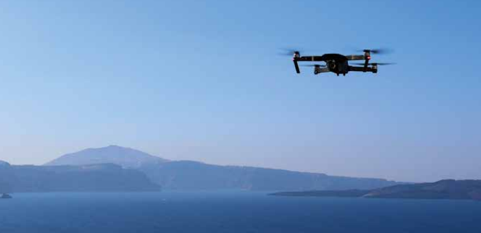
The Chinese Ministry of Natural Resources launched a network of drones to monitor strategic parts of Chinese maritime claims in the South China Sea. The drones will monitor uninhabited, hard-to-reach islands and will boost China’s dynamic surveillance of the South China Sea.
Specifically, the drone network consists of a number of unmanned aerial vehicles (UVAs), equipped with high-definition cameras, road-mobile communication vehicles which act as transmission relay stations, as well as a satellite-based maritime information communication network.
Moreover, the signals can be uploaded to the satellite network as images or live streams and be used at the bureau’s command headquarters in the southern province of Guangdong.
In its statement, the Ministry noted
The system has been used in maritime administration including to inspect waters for suspicious signs, investigate historical problem sites, and monitor the sea and islands in real time
The South China Morning Post added that the system has already been tested in an operational capacity. Also, China competes with Vietnam, the Philippines, Malaysia and Brunei. both clamming South China Sea.
China will launch the ‘Hainan satellite constellation system’ in 2021, which will daily monitor in real time the traffic in South China Sea and will consist of six optical satellites, two hyperspectral satellites and two radar satellites.
In early 2019, China launched a maritime rescue centre in Yongshu reef of the Nansha Islands to enhance the protection of navigation and transport safety in the South China Sea.


