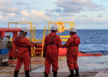
UK Hydrographic Office uses crowdsourced information from seafarers who report navigational challenges and other sightings through submitting a Hydrographic Note paper or through the H-Note App.
- Hydrographic Notes
They are paper forms that enable seafarers to inform the UK HO of conditions that vary from alters to navigational aids like buoy to sightings of protected species in high traffic areas.
The information is later used to identify any changes and make any alters in order to protect marine mammals and support marine safety.
According to UKHO, there are six kinds of Hydrographic notes.
- H-Note App
Hydrographic note is usually submitted through a form of fax or filling a form and sending it via email . Yet, the application enhances the navigational safety since connectivity helps with passing fast information.
[smlsubform prepend=”GET THE SAFETY4SEA IN YOUR INBOX!” showname=false emailtxt=”” emailholder=”Enter your email address” showsubmit=true submittxt=”Submit” jsthanks=false thankyou=”Thank you for subscribing to our mailing list”]
Since, the majority of seafarers use their mobile devices, the application allows the cooperation with the campera of the smartphone or its GPS for a better gathering of location information.
Also, the app also allows the user to store their ship’s details separately and automatically add these to each form, saving time during each submission.
UK HO notes that only during 2018, they received 598 sightings from mariners through these mediums. 51 credible sightings were delivered through the app, with 8 of these informing important updates to our charts and products, helping to keep mariners safe around the world and protect the marine environment.
UKHO launched a competition, according to which UK businesses will have an opportunity to get up to £750,000 of funding to pursue crowdsourcing projects that aim to:
- Improve the delivery of public services;
- Support the third sector;
- Enhance the quality of open public datasets.


