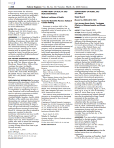
The USCG is conducting a Massachusetts and Rhode Island Port Access Route Study (MARIPARS) to evaluate the need for establishing vessel routing measures. The information of the MARIPARS may result in the establishment of one or more vessel routing measures. The goal of the MARIPARS is to enhance navigational safety by examining existing shipping routes and waterway uses. The recommendations of the study may lead to future rulemaking action or appropriate international agreements.
The USCG encourages the public to take part in this project, by providing its comments. In the meantime, two open meetings were held in April 23 and 25.
Written comments and related material may also be submitted to Coast Guard personnel at the meetings.
All comments and related material submitted after the meetings must be received by the Coast Guard on or before May 28, 2019. Commenters should be aware that the electronic Federal Docket Management System will not accept comments after midnight Eastern Daylight Time on the last day of the comment period.
The purpose of MARIPARS is:
- Requirement for Port Access Route Studies: Under 46 U.S.C. 70003 the Commandant of the Coast Guard may designate necessary fairways and traffic separation schemes (TSSs) to provide safe access routes for vessels proceeding to and from U.S. ports. The designation of fairways and TSSs recognizes the paramount right of navigation over all other uses in the designated areas. Before establishing or adjusting fairways or TSSs, 46 U.S.C. 70003 requires the Coast Guard to conduct a port access route study (PARS), i.e. a study of potential traffic density and the need for safe access routes for vessels. Through the study process, we must coordinate with Federal, State, and foreign state agencies (as appropriate) and consider the views of maritime community representatives, environmental groups, and other interested stakeholders. A primary purpose of this coordination is, to the extent practicable, to reconcile the need for safe access routes with other reasonable waterway uses such as construction and operation of renewable energy facilities and other uses of the Atlantic Ocean in the study area.
- Previous port access route studies: In 2011, the Coast Guard conducted a PARS which focused on the entire Atlantic Coast from Maine to Florida to analyze all vessel traffic proceeding to and from all Atlantic Coast ports and transiting through the United States Exclusive Economic Zone (EEZ).
- Necessity for a new port access route study: The Bureau of Ocean Energy Management (BOEM) has leased seven adjacent areas of the outer continental shelf (OCS) south of Martha’s Vineyard and east of Rhode Island that together constitute the MA/RI Wind Energy Area (WEA). Potentially seven distinct offshore renewable energy installations (“wind farms”) could be constructed, each with its own number, size, type of wind turbines, and distinct turbine layout. The topic of safe navigation routes to facilitate vessel transit through the MA/RI WEA has been discussed at various forums throughout southeastern New England. The forums have included participation by the Coast Guard, other federal, state, and local agencies, fishing industry representatives, and a myriad of stakeholders. Various different transit plans have been proposed through these different forums.
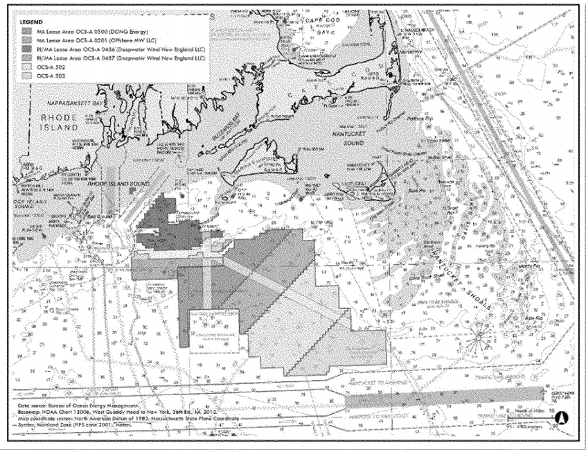
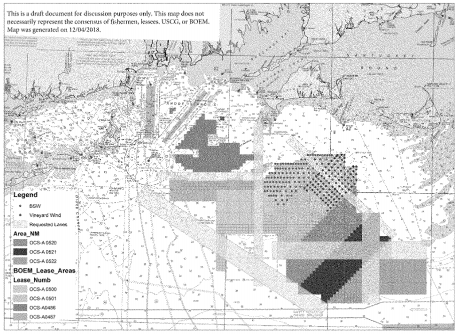
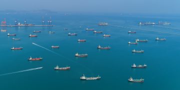
In addition, USCG reports that as part of this study, they may collect and analyze data and other information on vessel traffic characteristics and trends in an attempt to balance the needs of all waterway users.
This MARIPARS includes the following objectives:
- Determine present vessel traffic types, patterns, and density;
- Determine potential vessel traffic types, patterns, and density;
- Determine if existing vessel routing measures are adequate;
- Determine if existing vessel routing measures require modifications;
- Determine the type of modifications;
- Define and justify the needs for new vessel routing measures;
- Determine the type of new vessel routing measures;
- Determine if the usage of the vessel routing measures must be mandatory for specific classes of vessels.
For more information on the port study, you may click on the PDF herebelow


