


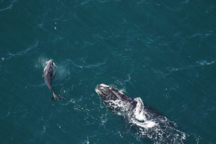
Researchers at Rutgers University-New Brunswick have developed an artificial intelligence (AI) tool that will help predict endangered whale habitat, guiding ships along the Atlantic coast to avoid them.
The tool aims to prevent fatal accidents and support conservation efforts and sustainable ocean development. By utilizing an AI-powered program that analyzes patterns across two extensive databases, the researchers have enhanced current methods for tracking the distribution of crucial marine species, such as the critically endangered North Atlantic right whale.
This is a demonstration of the power of employing AI methodologies to advance our ability to predict or estimate where these whales are.
…said Josh Kohut, Marine Scientist, Dean of Research, School of Environmental and Biological Sciences.
Unlike typical computer programs, where instructions are explicitly written, the machine-learning program used by the researchers analyzed large data sets to identify patterns and relationships. As the AI encountered more data, it refined its internal model to improve its predictions and classifications.
In addition, the information analyzed by the program includes extensive underwater glider and satellite data collected by scientists at the Rutgers University Center for Ocean Observing Leadership. The data also incorporated satellite products publicly available from the University of Delaware.
Initially, the researchers sought to develop high-resolution models of the North Atlantic right whale presence to support responsible offshore wind farm development and operation. However, they said the results have far broader implications and have made the details public as an addendum to their research paper.
The underwater gliders are autonomous, torpedo-shaped vessels that travel beneath the ocean’s surface along the mid-Atlantic coast. These gliders measure various seawater parameters, such as temperature, salinity, current strength, and chlorophyll levels.
They also use sound waves to detect fish schools, assess their size, and record underwater calls from whales and other marine mammals, helping to locate them in time and space. Satellite data includes measurements of sea surface temperature, water color, and ocean fronts, among other factors.
These tools are valuable and would solidly benefit anyone engaged in the blue economy – including fishing, shipping and developing alternative forms of energy sustainably.
…said Ahmed Aziz Ezzat, Assistant Professor, Department of Industrial and Systems Engineering, School of Engineering.