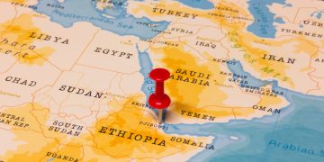
According to a maritime alert by US MARAD, a number of maritime incidents have been reported in the Eastern Mediterranean Sea in the vicinity of position 32-24.0N, 029-29.9E between March 18-22, 2018. The nature of the incident is reported to be GPS interference.
Although these incidents have not been confirmed, their nature is reported to be GPS interference. Namely, five vessels and one aircraft operating between Cyprus and Port Said, Egypt have reported GPS disruptions/interference over extended periods, resulting in either inaccurate positions or no position.
Vigilance is required when transiting this area, and further updates may follow. Meanwhile, reports of GPS degradations, disruptions, and other incidents or anomalies can be made via the U.S. Coast Guard Navigation Center website at: https://www.navcen.uscg.gov/?pageName=gpsUserInput.
[smlsubform prepend=”GET THE SAFETY4SEA IN YOUR INBOX!” showname=false emailtxt=”” emailholder=”Enter your email address” showsubmit=true submittxt=”Submit” jsthanks=false thankyou=”Thank you for subscribing to our mailing list”]
However, there are aids to see if your GPS is working correctly. Specifically, you can compare your position to buoys), islands, structures or bottom soundings, and then compare what you see, with what the GPS shows. When sailing offshore, checking of built-in GPS accuracy indicators, expected course-over-ground (COG) and speed-over-ground (SOG), is important.
If the GPS stops working, operators should proceed to dead reckoning (DR) and using everything at their disposal to determine the vessel’s position. DR-ing the position is nothing new, nor is plotting visual or radar bearings and ranges. Plotting of ranges and bearings to known land masses can now be conducted either on ECDIS or on paper chart.
When the GPS stops working while the ship is sailing in open ocean, celestial navigation is the solution. Celestial navigation tools are located on all deep-sea vessel. By using them, someone can determine the vessel’s position, in fact quite accurate. Then, the creation of celestial lines of position of paper charts can continue.


