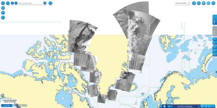
In cooperation with the Joint Arctic Command (JACO), EMSA plans and orders satellite imagery to meet service coverage requirements. After image acquisition trained operators analyze the images with supporting information, like vessel position data, to identify possible pollutions.
After assessing the images, the operators also determine the possibility of the presence of oil on the sea surface, and to help in identifying the source of the pollution.
[smlsubform prepend=”GET THE SAFETY4SEA IN YOUR INBOX!” showname=false emailtxt=”” emailholder=”Enter your email address” showsubmit=true submittxt=”Submit” jsthanks=false thankyou=”Thank you for subscribing to our mailing list”]
A main mission of the Joint Arctic Command (JACO) of the Danish Defence Command is to monitor the seas around Greenland. From January 2018, CMS started delivering services for pollution detection off the coast of Greenland.
These services include routine monitoring for the detection of illegal ship-source discharges, with regular images taken across defined areas throughout the year, aiming to detect possible pollutions whenever and wherever they take place.
The detection capabilities of CMS are integrated in a comprehensive pollution detection and response chain, in which the initial detection of pollution will lead to the successful prosecution of a violator.
Specifically, when a possible oil spill is detected, an alert message is sent to the Danish authorities, while the analysed images are available in the user portal in near-real time, at about approximately 30 minutes after satellite overpass.
These near-real time service capabilities are crucial to enable a rapid response by the user, as well as to increase the likelihood of catching the polluter red-handed
EMSA stated.


