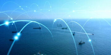
Copernicus Maritime Surveillance Service, previously known as GMES (Global Monitoring for Environment and Security), is the European Programme using sophisticated satellites for earth observation. Managed by EMSA, the service can be used to address a wide range of areas, such as piracy, marine environment, defence, and customs.
Namely, because of climate change, coastal areas are becoming more vulnerable and impact the lives of people living nearby and the environment. This video focuses on how you can use Copernicus data to assess coastal vulnerability.
Copernicus partners with the Italian Institute for Environmental Protection and Research (ISPRA) and the video focuses on Coastal Vulnerability Assessment.
Firstly, the coastal population is expected to grow in the next decades. The coastal areas hold several ecosystems and are highly exposed to threats both from natural to men actions that generate consequences.
Moving on, marine hazards affect coastal areas and the structure pattern of the existent ecosystem. Some of these ecosystems can work as protection services whose value should be taken into account when choosing solution to reduce coastal vulnerability. For example, sea marshes and the reduction in wave velocity can protect coastal areas from flooding.
Also, land management and economic activity have deeply affected the coastal areas, altering the environmental condition and introducing additional pressure that interacts with marine hazards producing high complex conditions.


