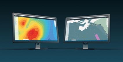
Wärtsilä has introduced a major update to its Eniram SkyLight 2.0 performance monitoring system targeted at making predictive analysis and proactive planning more efficient. The system now adds nautical maps, weather layers, and route importation offering both weather and route optimization.
Watsila says that the updated version includes the possibility to switch between updated nautical maps and Google maps as a background within SkyLight’s ‘fleet’, its software interface. These combined features facilitate the analysing and predicting of what will happen, thus enabling the operator to be proactive in responding appropriately.
The features are all based on the same portable transponder and data service used with the existing SkyLight system.
Moreover, SkyLight 2.0 can be a bunker-saving system as it provides the tools needed to reduce fuel consumption and operate with lower emission levels. At the same time, it provides added security and visibility. The update will also help operators to comply with the monitoring and reporting regulations (MRV) that enter into effect in August of this year.
”Eniram’s SkyLight is a performance monitoring service delivered to the customer on subscription without any costly integration onboard. It offers Charter Party monitoring and delivers the vessel’s speed profile on a per voyage basis, as well as providing the vessel’s normalised speed fuel curve.” Wartsila stated.


