AMSA is enforcing compliance with SOLAS requirements for up-to-date charts and publications, including voyage planning, as part of their Port State Control efforts. This effort is especially thorough in north east Australia, along the Queensland coast, an area where a “zero tolerance” concept is in place.
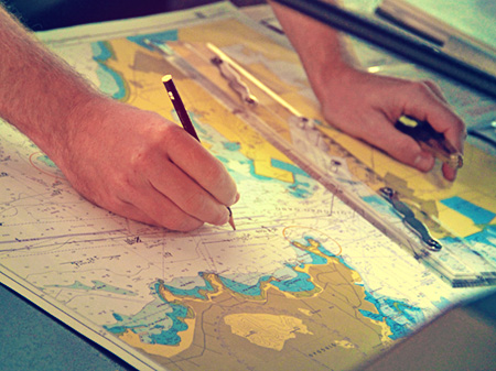
SOLAS Regulation V/27 requires that nautical charts and publications necessary for the intended voyage be adequate and up-to-date. AMSA Marine Notice 16/2014, Official Nautical Charts, states that:
For a nautical chart to be considered adequate for navigational purposes, it must be:
- officially issued;
- the latest edition;
- used in its original form (not photocopies, facsimiles, or imitations of official paper charts, or “cut-and-paste” charts assembled from small scanned portions);
- maintained up-to-date using the latest available notices to mariners; and
- of appropriate scale suitable for the navigational task at hand.
Further, AMSA Marine Notice 17/2014, Sound Navigational Practices, provides information on nautical charts and nautical publications that AMSA considers adequate for the safety of navigation in Australian waters. AMSA Marine Notice 17/2014 also notes that AMSA Marine Order 21-2012, Safety of navigation and emergency procedures, implements SOLAS Chapter V requirements for ships operating in Australian waters as follows:
- Regulation19, which addresses shipborne navigational equipment and systems;
- Regulation 27, which provides that nautical charts and nautical publications necessary for the voyage are adequate and up-to-date; and
- Regulation 34, which requires planning of the intended voyage
AMSA Marine Notice 17/2014 further states that AMSA port State control inspectors will routinely check for:
- documented voyage plans and adherence to such plans;
- availability and appropriate use of nautical charts, updated and corrected to the latest available updates and notices to mariners;
- use of the largest scale charts for coastal navigation; and
- carriage and use of up-to-date nautical publications, including APH 20 [Seafarers Handbook for Australian Waters], necessary for the intended voyage.
AMSA Marine Notice 11/2012 , Guidance on ECDIS for ships calling at Australian ports, clarifies some of the issues relating to the carriage requirements for Electronic Chart Display and Information System (ECDIS) and provides guidance for ECDIS-fitted ships calling at Australian ports. In addition to requiring official and up-to-date electronic charts, this Notice includes two flow charts, attached hereto, which summarize the inspection steps and action codes (severity of deficiency) for both ECDIS-fitted and non-ECDIS-fitted ships.
In addition to the Marine Order and Marine Notices referenced in this MSA, the AMSA publication, North-East Shipping Management Plan, presents a comprehensive summary of the navigational concerns and environmental challenges for shipping operations in northeast Australia.
AMSA’s website also contains a page entitled Quick guide – Navigation through the Great Barrier Reef and Torres Strait


