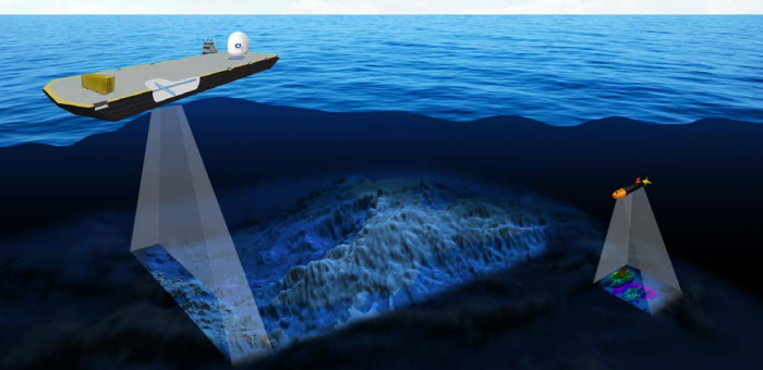
A new scientific project will be launched to map the ocean floor by 2030. The Seabed 2030 project will use data from underwater drones, merchant ships, fishing boats and even explorers, to solve one of the world’s long lasting mysteries.
Seabed 2030 is a collaborative project between the Nippon Foundation of Japan and the General Bathymetric Chart of the Oceans (GEBCO). It was launched at the United Nations (UN) Ocean Conference in June 2017 and is aligned with the UN’s Sustainable Development Goal #14 to conserve and sustainably use the oceans, seas and marine resources.
[smlsubform prepend=”GET THE SAFETY4SEA IN YOUR INBOX!” showname=false emailtxt=”” emailholder=”Enter your email address” showsubmit=true submittxt=”Submit” jsthanks=false thankyou=”Thank you for subscribing to our mailing list”]
About 93% of the world’s oceans with a depth of over 200 meters (650 feet) has yet to be charted. For this reason, Satinder Bindra, director of the Seabed 2030 project, said the project can be completed until 2030, and will make give answers to a number of issues, such as tsunami wave patterns pollution, fishing movements, and shipping navigation.
The project will also look to gather data from research missions as well as explorers searching for sunken wrecks together with data received from ships, fishing boats and commercial companies. According to Reuters, the project is estimated at $3 billion, and will leave waters closer to shore to national research bodies.
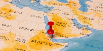
However, exploratory research could face problems from geopolitical tensions in sensitive waters around the world including the South China Sea, the Gulf of Aden and the Red Sea.
The data will be collected from the multiple sources, where experts at four centers around the world will also contribute. Then the data will be put together at Britain’s National Oceanography Center, with the hope to produce the first bathymetric map by the end of 2018 and update it every year.


