


The UK Hydrographic Office (UKHO) has developed a new tool using AI and machine learning, in collaboration with Teledyne CARIS, to improve efficiency during bathymetric data cleansing processes.
The new ADMIRALTY GAM Service classifies and removes sonar noise from bathymetric survey data using machine learning based on a Generalised Additive Model (GAM). The service uses cloud computing capabilities to examine and cleanse new multi-beam survey information, removing outlying data points within the data set.
This could include any point or cluster of points that are above or below where the actual slope being surveyed is, and random spikes in data that are inaccurate to the reality being surveyed.
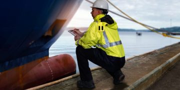
Hydrographers, geospatial analysts, marine geospatial specialists, survey and scientific research companies, and other Hydrographic Offices can benefit from this tool to substantially improve the volume and velocity at which data is refined, and invest the freed time and resource in analysing and adding value to that data.
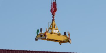
The tool has been especially tailored to work with single track multi-beam sonar data such as that collected on a research cruise or voyage.
A recent trial conducted on a data set gathered during a two day, 900km voyage in the Southern Ocean, showed that the ADMIRALTY GAM Service algorithm took one hour and 30 minutes to identify the noise in a data set of marine depth data ranging from 100m to 3000m.
Commenting on the announcement, Paul Marks, ADMIRALTY GAM Service Product Manager at the UKHO, said:
The new ADMIRALTY GAM Service that we are launching today is the result of years of work, development, and investment from the UKHO into the use of AI and machine learning to tackle the increasing levels of bathymetric data cleansing and verification tasks that our industry has to undertake