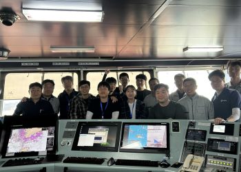


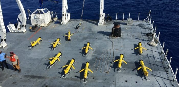
In April 2018, the US Naval Oceanographic Office (NAVOCEANO) became the first governmental entity to have simultaneously commanded 50 ocean gliders, unmanned underwater vehicles used to collect data that is incorporated into ocean models, ultimately providing underwater forecasts for US Navy operations.
The temperature and salinity profiles the gliders collect within the water column are assimilated into ocean models that provide underwater forecasts, similar to the way atmospheric models are used to provide weather forecasts. These forecasts are imperative to a wide range of naval operations and have numerous applications, from diver safety to detection of submarines to hurricane prediction.
Now the entity’s oceanographic and engineering departments are on track to exceed their own milestone, with dozens of additional gliders launched from a range of platforms, in the last few months.
We are well on our way to having 100 simultaneously deployed gliders. It has taken hard work and dedication from all involved as we find new ways to implement automation and gain efficiency,
…says Bryan Mensi, NAVOCEANO glider operations branch head.
NAVOCEANO has been operating gliders for decades, and is now home of the world’s largest fleet of these vehicles, which have been launched from an array of vessels operated by the US Navy, US Coast Guard, and the National Oceanic and Atmospheric Administration, as well as universities.
With average missions spanning several months, LBS gliders collect thousands of environmental data profiles across the globe each year at a fraction of the cost of ship-collected data.
The Office uses a variety of platforms including ships, aircraft, satellite sensors, buoys, and unmanned underwater vehicles to collect oceanographic and hydrographic data from the world’s oceans.