In February 2018, the Government of Seychelles announced the creation of two new areas for marine protection covering 16% (210,000 square km) of its ocean. These new marine protections are the first milestone in creating a Seychelles Marine Spatial Plan that will cover the second-largest area of ocean in the world (after one in Norway), and is the first Marine Spatial Plan in the Indian Ocean.
According to data provided by UN Environment, the two areas cover:
- 74,400 square kilometres of mostly deep and some inshore waters surrounding the Aldabra Group, an archipelago 1,100 kilometres west of Seychelles’ main islands where endangered marine species live and breed, or migrate through. This area is a new Marine National Park that restricts almost all human activities in one of the world’s most ecologically important habitats, the waters around the Aldabra Group, home to the Indian Ocean’s only dugongs, critically endangered turtles, and spawning grounds for rare and economically vital species including tuna.
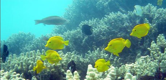
- 136,000 square kilometres of deep waters stretching between the Amirantes Group and Fortune Bank, a swathe of Seychelles’ central ocean that includes areas important for biodiversity conservation, tourism and fishing industries. This area is a brand new category in Seychelles and is called a Marine Protection & Sustainable Use Area. The area introduces significant new conditions and restrictions that balance the need for sustainable economic activities like fishing and tourism to drive this small island economy, with the need to safeguard the environmental resources those businesses rely on, for example, abundant fish stocks, clean waters, and healthy coral reefs.
The phase 2 of the project, to be completed by 2020, will identify the remaining waters for marine protection, taking the total to 410,000 sq km or 30% of Seychelles’ waters. The remaining 70% will be zoned for multiple uses and management plans developed or updated for all economic activities.
Putting 16% of its territory into two levels of marine protection status means Seychelles will have significantly exceeded, three years early, both the UN Convention of Biological Diversity target for 10% marine protected areas, and UN Sustainable Development Goal 14 – for 10% coastal and marine protection.
Although there are various existing laws, international agreements, and regulations governing the management of these areas, there has been no unified process to direct sustainable development in the context of a changing climate that will also ensure ecological protection and support Seychelles’ Blue Economy. That’s why a Marine Spatial Plan is needed,
…UN Environment explains.
The Plan followed a February 2016 “debt-for-conservation” deal that Seychelles signed with The Nature Conservancy. This raised funding to buy $21 million of Seychelles’ sovereign debt to refinance it, and then direct a portion of repayments to fund climate change adaptation and marine conservation projects.
Partners involved include The Nature Conservancy, The Global Environment Facility, the UN Development Programme, as well as Seychelles’ Conservation and Climate Adaptation Trust (SeyCCAT) and a number of private funders.
Supporters of the initiative are also Seychelles’ citizens, experts, scientists, conservationists, policy consultants, fisheries businesses, tourism operators, oil and gas geologists, coast guard and public utilities, who took part in more than 100 consultations to inform the design and location of the marine protections and develop allowable activities and management considerations for the two new areas.


