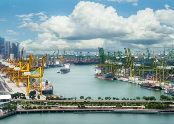


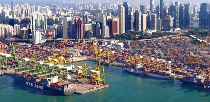
MPA Singapore announced the official launch of GeoSpace-Sea, the national marine spatial data infrastructure, creating the first-ever comprehensive picture of Singapore’s sea space.
The launch of Phase 1 was announced by Senior Minister of State for Foreign Affairs and Transport, Mr Chee Hong Tat, at the first day of MPA Singapore’s International Safety@Sea Webinar Series, on Monday.
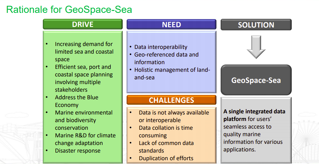
Firstly announced in summer 2019, GeoSpace-Sea integrates and shares authoritative marine and coastal spatial data and information from various sources and disciplines, to build picture of the country’s sea space.
In the first place, the database will consist of hydrographic data, marine environment data such as coastline details, and habitat data. Then, when the first phase is completed, the user agencies will be able to enter and acquire authorised marine and coastal geospatial data in a single location including viewing the seabed in three-dimension.
So, for a start, the GeoSpace-Sea web portal will be accessible by participating government agencies in Singapore.
Subsequently, it will be made available to more users from the public including academia, research institutions and industry, so that end-user applications can be built using its data.
GeoSpace-Sea will support and enable solutions to tackle complex problems and future challenges in areas such as maritime safety, marine coastal spatial planning, climate change and environmental sustainability,
…MPA Singapore said.