


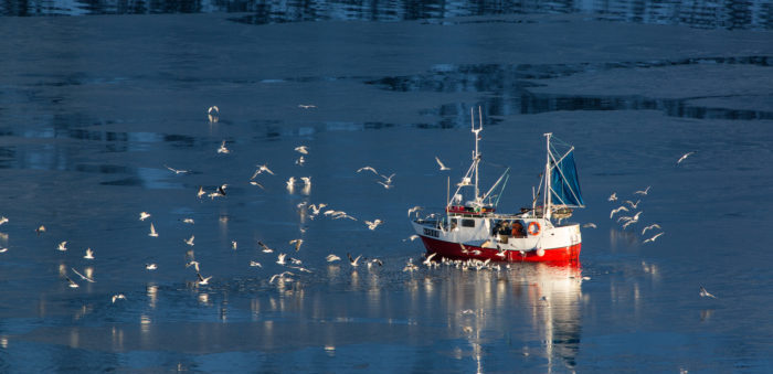
Global Fishing Watch has developed and publicly released the first ever global map of previously undetected dark fleets, or vessels that do not broadcast their location or appear in public monitoring systems.
Powered by satellite radar imagery and machine learning, the map layer is updated daily within the main Global Fishing Watch map application.
[smlsubform prepend=”GET THE SAFETY4SEA IN YOUR INBOX!” showname=false emailtxt=”” emailholder=”Enter your email address” showsubmit=true submittxt=”Submit” jsthanks=false thankyou=”Thank you for subscribing to our mailing list”]
To see these vessels, satellite radar technology, known as synthetic aperture radar (SAR), functions day and night in all types of weather and can generate imagery despite cloud cover or storm systems, resulting in detection capabilities that are significantly advanced over other satellite-mounted sensors.
It is surprising how little we have known to date about the true scale of human activity on the water. If you combine vessels that intentionally shut off their signal with the significant number of boats that don’t make their whereabouts known in public systems at all, you end up with gaps in data, monitoring and accountability
said David Kroodsma, director of research and innovation at Global Fishing Watch.
The new global map layer draws from a data-processing pipeline and uses machine learning to crunch petabytes, or millions of gigabytes, of radar imagery taken by the European Space Agency’s Sentinel-1 satellites.
By analyzing the entire archive of Sentinel-1 radar imagery, Global Fishing Watch has made 20 million detections of sea-going vessels greater than approximately 10 meters in length, and matched these detections to 100 billion GPS points from vessels broadcasting their position on the automatic identification system.
This matching differentiates vessels that broadcast their position from those that remain dark in public monitoring systems, resulting in more comprehensive views of vessel movements across the global ocean.
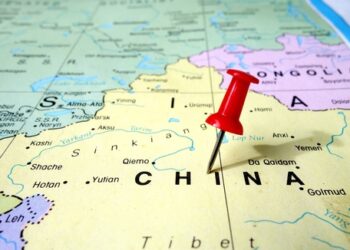
Global Fishing Watch used satellite radar and optical imagery to reveal around 900 vessels of Chinese origin fishing illegally in North Korean waters in violation of United Nations sanctions.
By seeing and characterizing the activity of these expansive dark fleets, we can begin to better understand and quantify not just illegal fishing but a great deal of human activity that is impacting our marine environment. These are exciting times when it comes to open, accessible data that anyone can use for free to understand and advocate for the fragile marine areas they care about most
said Paul Woods, chief innovation officer at Global Fishing Watch.


It is a shame that humans rape the oceans due to over fishing they probably catch tons and tons of fishes illegally, all for the sake of the All Mighty dollar, what will Man Do when the Oceans are depleted of fish, when fish are taken in such numbers that species go extinct there are limited numbers of fish, crabs, lobsters They need to globely protect the Oceans But humans don’t care it’s all about greed, What about preserving the Oceans for future generations